Cemetery Development/Geospatial Localization
Cemetery Development/Geospatial Localization
We provide comprehensive professional services for the development and enhancement of cemetery properties, focusing on meticulous planning, advanced mapping, and precise Geo-Spatial localization. Our services ensure that every aspect of cemetery development meets the highest standards of organization and respect.

Cemetery Mapping
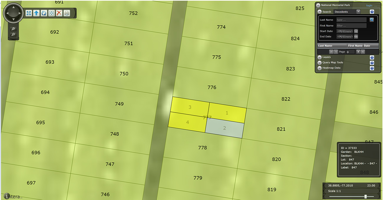
Involves creating detailed and accurate layouts of burial plots, pathways, and communal areas. We use advanced technology to produce informative and navigable maps that support efficient property management and enhance visitor experience.
Geospatial Localization
Employs cutting-edge technology to determine and record the exact locations of plots and features within the cemetery. This includes integrating GPS coordinates and spatial data to ensure precise plot management and ease of access. Truly enhances the visitor’s experience.

Record Keeping
Record Keeping is a crucial component of our services, involving the systematic documentation and maintenance of all relevant data related to burial sites and property features. Our thorough record-keeping practices ensure that all information is accurate, up-to-date, and easily accessible, supporting long-term management and planning.
Together, these services help create well-organized, respectful cemetery environments and provide a comprehensive framework for ongoing property management and family support.


